About These Maps
The Faroe Islands are an archipelago of 18 volcanic islands located between Norway and Iceland in the North Atlantic Ocean. These historical maps show the islands Isaac Sharp visited during his 1862 missionary journey, including Bordoy, Sandoy, Suderoy, and the capital Torshavn.
Island Maps
Click any map to view full size
[
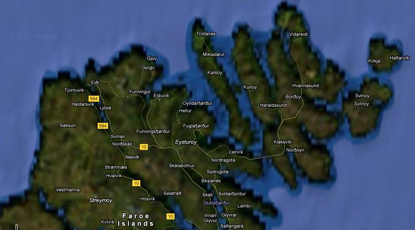
Bordoy
Second largest island
](#)[
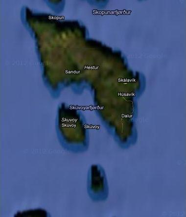
Sandoy
Sandy beaches island
](#)[
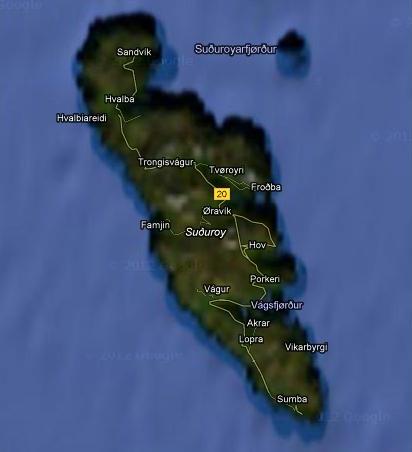
Suderoy
Southernmost island
](#)[
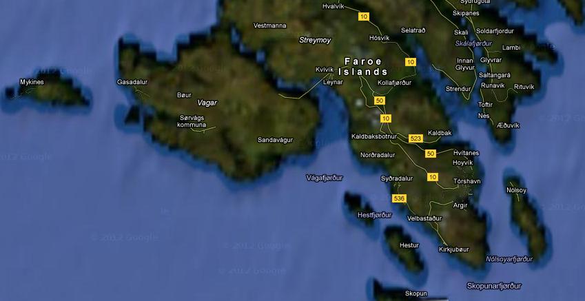
Torshavn
Capital city ](#)
Historical Context
In 1862, the Faroe Islands were a remote Danish territory with a population of about 9,000. The islanders lived primarily by fishing and sheep farming. Isaac Sharp and Asbjorn Kloster traveled to these isolated communities to share the Gospel, often enduring harsh weather and difficult sea voyages between the islands. The maps above show the same islands Sharp visited, though much has changed in the 160+ years since his journey. Back to Isaac Sharp's Journey Read the Journal
Download Maps
Bordoy Island Sandoy Island Suderoy Island Torshavn
The Faroe Islands
- • 18 volcanic islands
- • Located between Iceland and Norway
- • Danish territory since 1380
- • Population ~9,000 in 1862